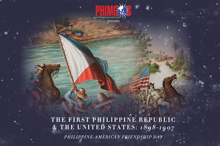
The First Philippine Republic & the United States covers maps from the period of 1898, when the Americans arrived in the Battle of Manila Bay and the First Philippine Republic was established, to 1907, when the First Philippine National Assembly was convened.
A must-see for map collectors and history students, the exhibit is an interesting and educational representation of early American colonial presence in the country. On display are not only century-old maps, but also books, photographs, lithographs, war medals, flags and other memorabilia pertaining to the Philippine-American War.
The First Philippine Republic & the United States is presented by the Philippine Map Collectors Society in partnership with Yuchengco Museum in celebration of the Battle of Manila Bay and Philippine-American Friendship Day.
