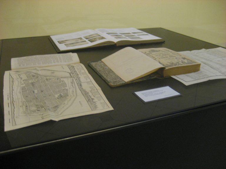
First Impressions: Early Views of the Philippines shows the work of Spanish and Philippine cartographers who drafted the first known maps of the Philippines from the collections of the members of the Philippine Map Collectors Society (PHIMCOS) and Gallery of Prints. In addition to the rare 16th and 18th century maps on view, also on exhibit are antiquarian books, stock certificates, and prints pertaining to voyages, geography, and life in the Philippines.
Why do maps fascinate us? The appeal of antique maps comes from the unique synthesis of geography, exploration, trade, history, culture, science, and art. Antique maps captivate us not only because they are coveted instruments of power or works of beauty, but because they are archives of knowledge and signposts of creative imagination.
First Impressions: Early Views of the Philippines is presented by the Embassy of Spain in Manila in cooperation with the Philippine Map Collectors Society and Yuchengco Museum in celebration of Philippine-Spanish Friendship Day.